June 16, 2026
When acquiring property or planning changes to your lot, understanding the exact legal boundaries is an essential step. Many property owners assume they know exactly where their property begins and ends, often relying on existing fences or visual markers as informal guides. However, these physical features rarely represent the true legal lines of a parcel.
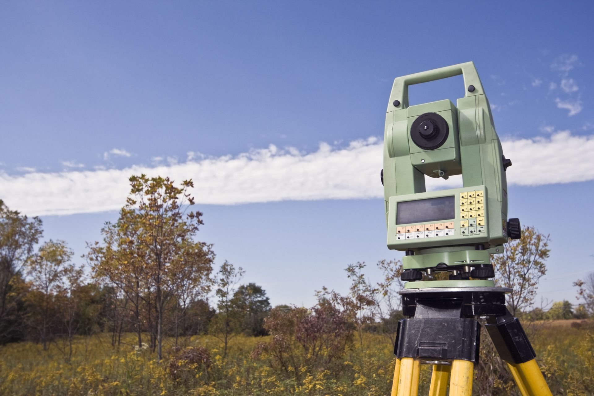
Without official documentation and professional measurement, you could be risking significant legal trouble or encroaching on neighboring lots without even realizing it. This is where professional expertise becomes invaluable. Engaging in land surveying provides absolute clarity, turning guesswork into definitive, legally binding facts. By mapping out the precise dimensions and topographical features of a specific site, professionals protect you from unnecessary headaches down the road.
1. To Prevent Boundary Disputes
A primary reason property owners seek professional assistance is to avoid conflicts with neighbors. Fences, hedges, and driveways are frequently installed without exact measurements, leading to situations where a structure might actually sit on someone else's property. Over time, these minor encroachments can turn into heated disagreements, potentially ruining neighborly relationships and leading to stressful legal battles in court. By completing a thorough and precise evaluation of the parcel, you establish an undeniable legal boundary that all parties must respect.
The process of land surveying removes all ambiguity from the equation, giving everyone involved a clear understanding of the designated lines. Having this official documentation on hand allows you to confidently install new fences or landscaping features without the fear of accidentally encroaching on adjacent land. Furthermore, if a neighbor decides to build a new structure that seems too close to your shared line, you have the necessary proof to protect your own designated space. Clarity brings peace of mind and fosters better community relationships.
2. To Prepare for Construction
Before breaking ground on any new building project, it is absolutely crucial to have a comprehensive understanding of the site's unique characteristics. Building a new home, adding an extensive room addition, or laying down a foundation requires precise spatial data to ensure the structure sits perfectly within the legal limits of the lot. According to Research and Markets, approximately 70% of surveying work is directly related to construction projects, indicating that a vast majority of these assessments help homeowners and developers guarantee accurate property boundaries, map out topography, and maintain complete compliance with local building rules.
Without this foundational step, developers run the risk of building over setback lines or building on unstable topographical features. Relying on professional land surveying gives architects and construction crews the exact measurements they need to design and execute their plans flawlessly. The detailed maps produced during this phase highlight elevation changes, natural features, and potential obstacles that might affect the overall structural integrity of the proposed building. Proper preparation minimizes delays and ensures the project moves forward smoothly.
3. To Navigate Zoning Regulations
Municipalities enforce specific rules regarding how property can be utilized and developed. These zoning regulations dictate everything from how close a structure can be to the street to the maximum allowable height of a new building. Navigating these complex legal requirements can be an incredibly daunting task for the average property owner. Professionals deeply understand local zoning ordinances and can provide the exact data needed to prove your proposed project adheres to all local mandates.
Utilizing a comprehensive land surveying report allows you to present a clear, undeniable case to local planning boards and permitting offices. When you apply for a building permit, officials want to see empirical evidence that your plans do not violate community standards or encroach upon protected areas. Having an officially stamped map removes the guesswork and speeds up the entire permitting process. If you ever need to apply for a variance to bypass a specific zoning rule, these precise documents serve as the foundation of your argument, showing exactly why the exception is necessary and how it impacts the surrounding area.
4. To Locate Utility Lines
Beneath the surface of almost every developed parcel lies a complex network of utility lines, including water pipes, sewer mains, gas lines, and electrical cables. Striking a critical infrastructure component during excavation can cause catastrophic damage, service outages, and dangerous situations for workers. Before any digging occurs, property owners must know exactly where these subsurface utilities are buried. A detailed investigation of the site often includes mapping these hidden elements alongside the visible topographical features.
Incorporating land surveying into your pre-construction checklist ensures that all excavation teams have a clear roadmap of what lies beneath the dirt. This level of detail protects the community infrastructure and keeps your project moving forward without disastrous interruptions. Additionally, understanding where your utility hookups are located helps architects plan the most efficient routes for connecting a new structure to the municipal grid. It eliminates the trial-and-error approach to digging, providing a safe and organized environment for everyone working on the site.
5. To Subdivide Large Parcels
When a property owner decides to split a large tract of land into smaller, individual lots, the legal and logistical requirements become incredibly stringent. Subdividing requires the creation of entirely new legal descriptions for each newly formed parcel, ensuring that every new lot meets the minimum size and frontage requirements mandated by local authorities.
You cannot simply draw arbitrary lines on a map; the process requires mathematical precision. Relying on specialized land surveying guarantees that the newly created lots are perfectly measured, mapped, and recorded with the county or city clerk. The professional will place physical markers at the newly established corners, providing future buyers with clear visual indicators of their designated area. This rigorous documentation is necessary to facilitate future real estate transactions, as title companies and lenders require legally binding descriptions before approving any transfers of ownership.
6. To Verify Property Dimensions
Whenever real estate changes hands, both the buyer and the seller need absolute certainty regarding the exact size and shape of the parcel being transferred. Sometimes, old deeds contain outdated or vague legal descriptions that rely on natural landmarks that may no longer exist, such as a specific tree or a historic stone wall. These archaic descriptions can confuse a real estate transaction. Bringing in a professional to measure the current dimensions ensures that the property being sold matches the property being advertised.
While we have already mentioned land surveying several times, its role in verifying total acreage cannot be overstated. A slight miscalculation in the total square footage can drastically alter the perceived value of the lot or complicate a commercial development plan. By producing an updated, modern legal description, the professional ensures that the title reflects the true reality of the site.
Ensuring you have accurate, legally binding measurements of your lot is an essential responsibility for any property owner or prospective buyer. Whether you are aiming to prevent disputes with your neighbors, preparing for a major construction project, or simply wanting to understand the exact dimensions of your parcel, having professional documentation makes all the difference in the world.
Relying on precise data eliminates confusion, accelerates permitting processes, and provides a solid foundation for any future development plans you might harbor. Properly evaluating your site protects your investment and grants you peace of mind. If you are ready to secure accurate property boundaries and move forward with your next project with absolute confidence, contact us at Howard Surveying today. We will help you understand the exact dimensions of your lot and ensure your upcoming development goes as smoothly as possible.